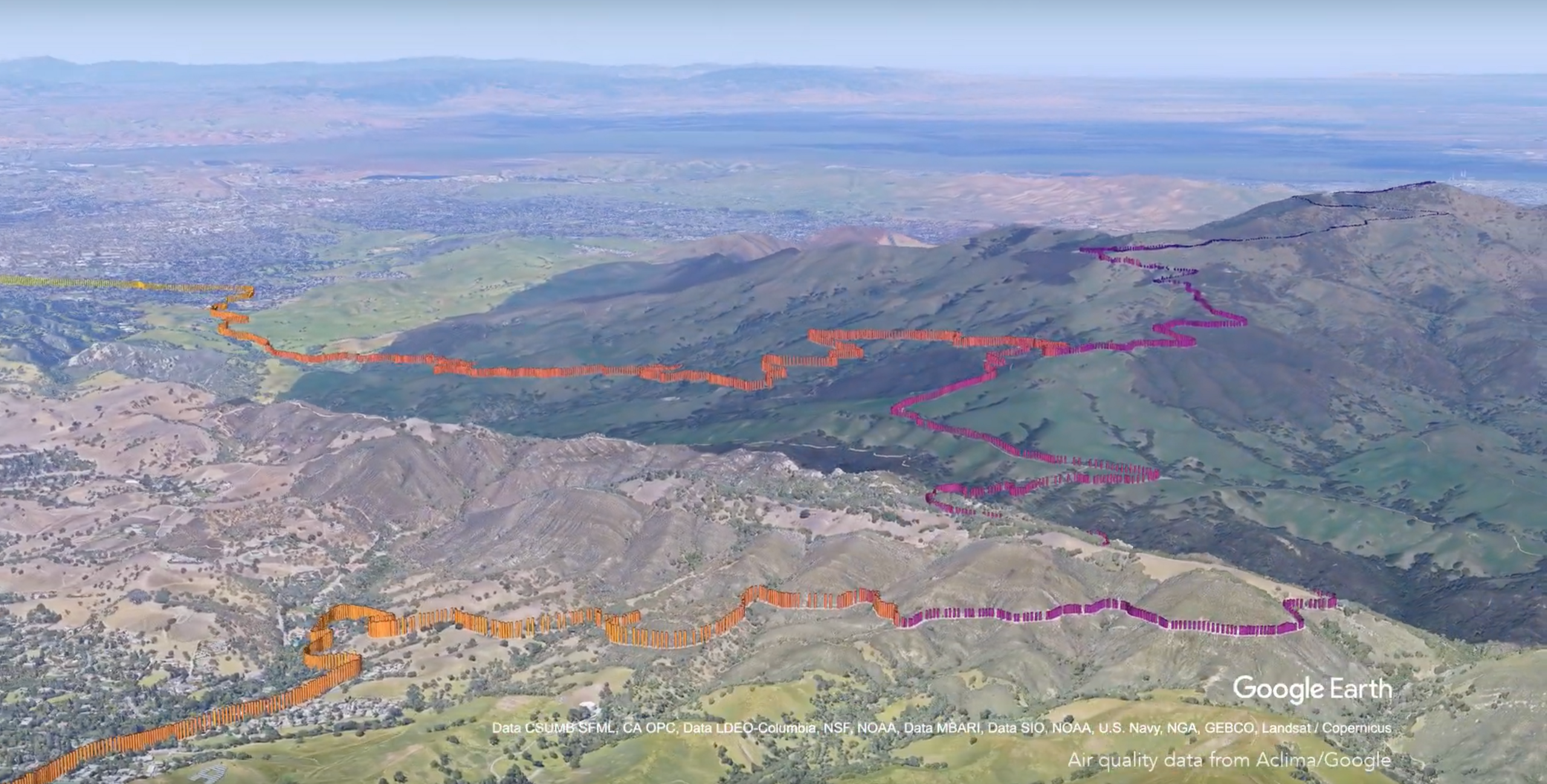
During her keynote at Collision from Home today, our co-founder and CEO Davida Herzl announced that Aclima and Google are making a massive air pollution dataset freely available to the scientific community. Over the course of four years, the two companies have together generated and aggregated more than 42 million hyperlocal air quality measurements throughout California.
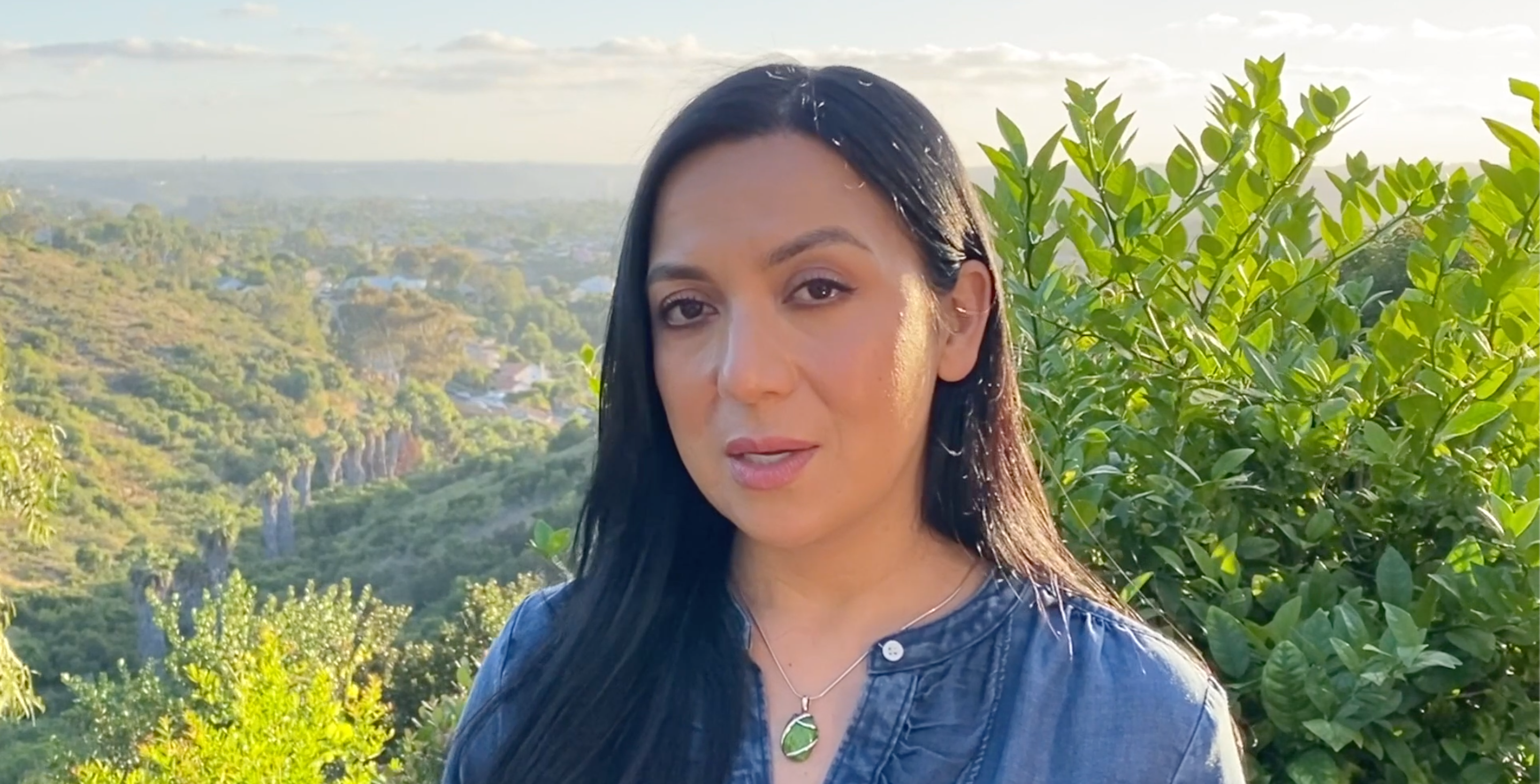
Aclima co-founder and CEO Davida Herzl announces the release of a massive air quality research dataset in her Collision keynote, June 25, 2020
To advance our understanding of local air quality and human exposure, we’ve worked with Google since 2015 to unlock a new form of air quality measurement that gives us a block-by-block view of air pollution that can aid in the identification of sources and methods to reduce emissions at scale.
Aclima’s sensing and analytics platform, integrated into Google Street View vehicles, measured air pollutant and greenhouse gas levels in the San Francisco Bay Area, Los Angeles, and the California Central Valley over the course of four years.
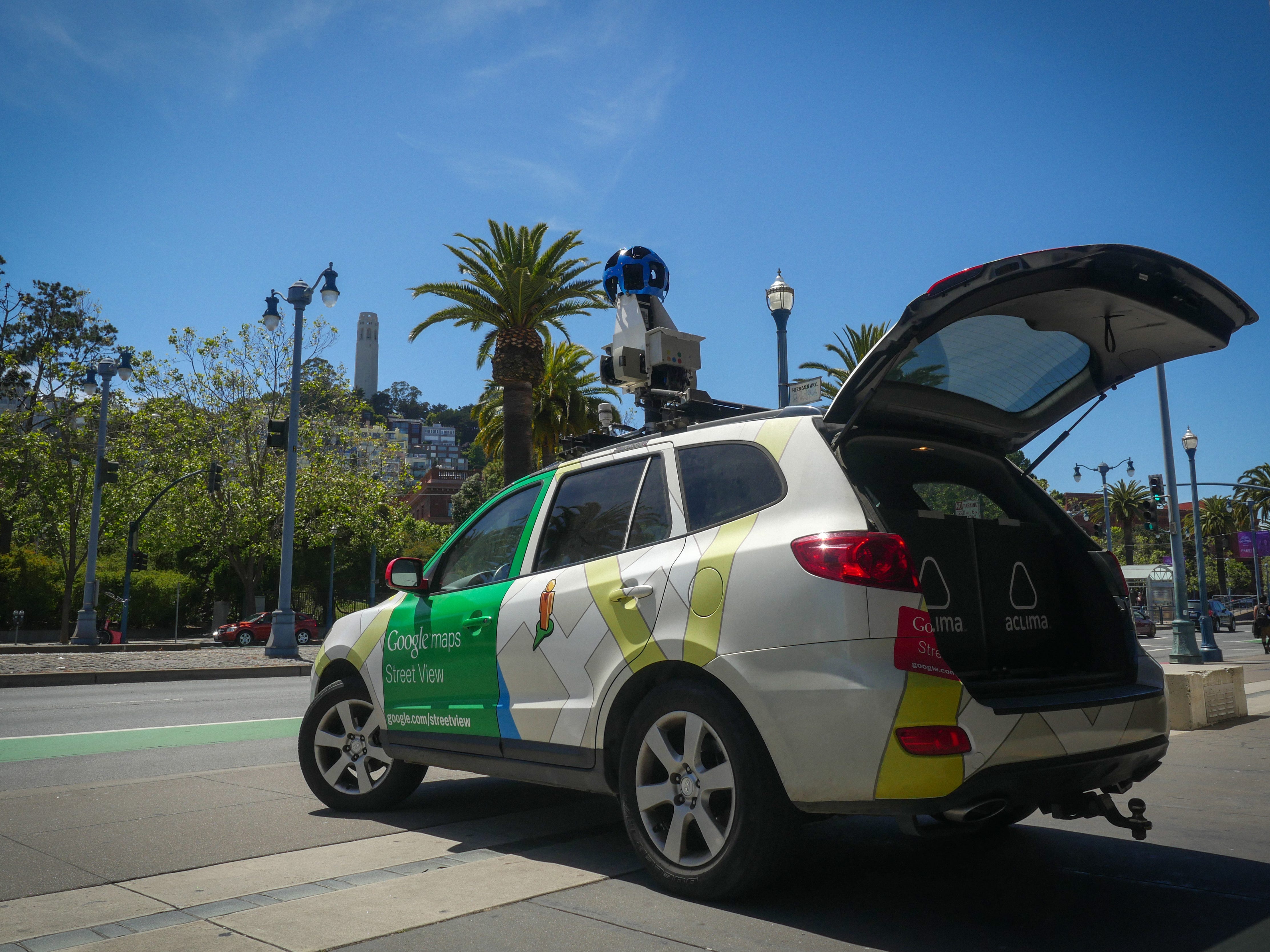
The pollutants analyzed include Carbon Dioxide (CO₂), Ozone (O₃), Nitrogen Dioxide (NO₂), Nitric Oxide (NO), Methane (CH₄), Black Carbon (BC), and fine particulate matter.
With this data, Aclima and Google aim to support scientific research in fields that can benefit from and be advanced by high-quality air pollution and greenhouse gas data measured at this spatial resolution.
Aclima and Google previously released selections of this larger hyperlocal air quality dataset to more than 150 researchers, supporting breakthrough science in the field:
-
In 2017, Aclima, Google, the EDF, and researchers from UT Austin announced the results of a year-long study published in Environmental Science & Technology using our data from West Oakland. The data gathered in Oakland validated Aclima’s platform and showed that hyperlocal pollution can vary up to 5 to 8 times from one end of a city block to another.
-
In 2018, EDF and Kaiser Permanente published a study in Environmental Health linking street-level air pollution in Oakland to heart disease.
-
Earlier this year, CalTrans awarded a grant to Professor Antonio Bento at the USC School of Public Policy to apply the Los Angeles subset of this research data with Performance Measurement System (PeMS) data to estimate the environmental benefits of congestion pricing.
By providing access to this complete California air quality dataset to researchers, Aclima and Google are supporting the scientific community to drive climate action forward. The connections between air pollution, public health, and environmental justice are clear. Measuring and analyzing street-level air quality is essential to revealing and reducing the emissions that both damage health and change the climate.
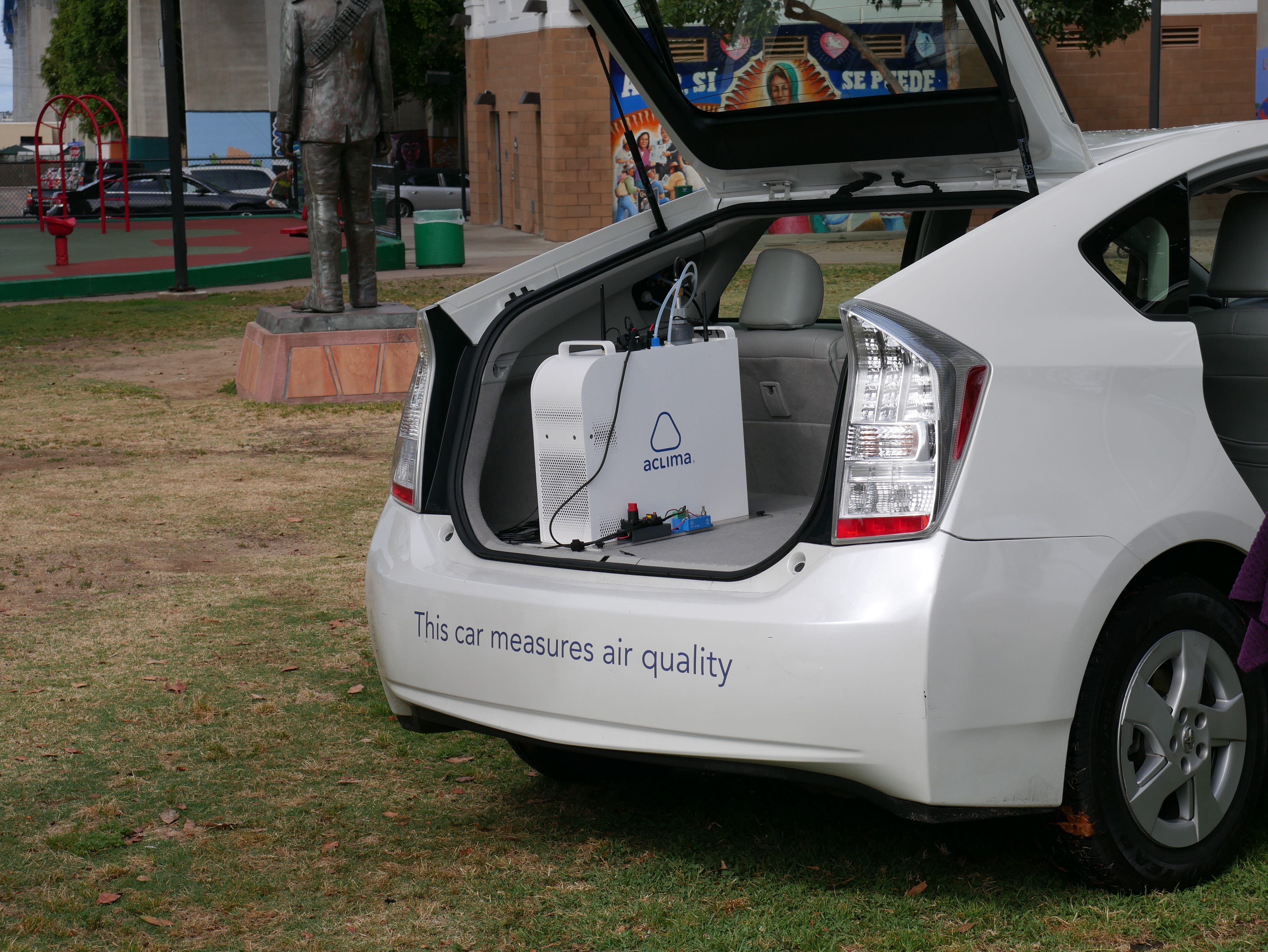
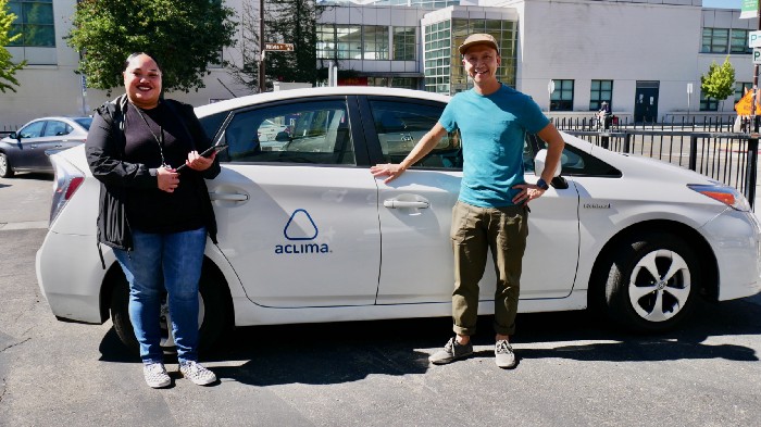
In parallel to this research-centered initiative, Aclima has been scaling up its own fleet and software platforms to support the broad use of hyperlocal data across government, communities, and businesses to accelerate climate action. We’ve announced major new customers this year, including the Bay Area air quality regulator who has subscribed to Aclima’s hyperlocal air quality data for the entire nine-county region, as well as the San Diego air quality regulator to support portside and border communities.
And now, Aclima and Google are scaling the science of hyperlocal air quality measurement around the world to catalyze and accelerate local action for global impact.
Share this
You May Also Like
These Related Stories

Aclima and Google Maps Make CGI Commitment to Map Air Pollution in Los Angeles and other California cities with Street View cars
Mapping Air Quality and Greenhouse Gases on Every Block in the Bay Area
/2022_Aclima_Logo_Mist_500px_wR.png?width=501&height=193&name=2022_Aclima_Logo_Mist_500px_wR.png)
