Hyperlocal Air Pollution Mapping to Accelerate and Support Climate Action and Public Health Initiatives
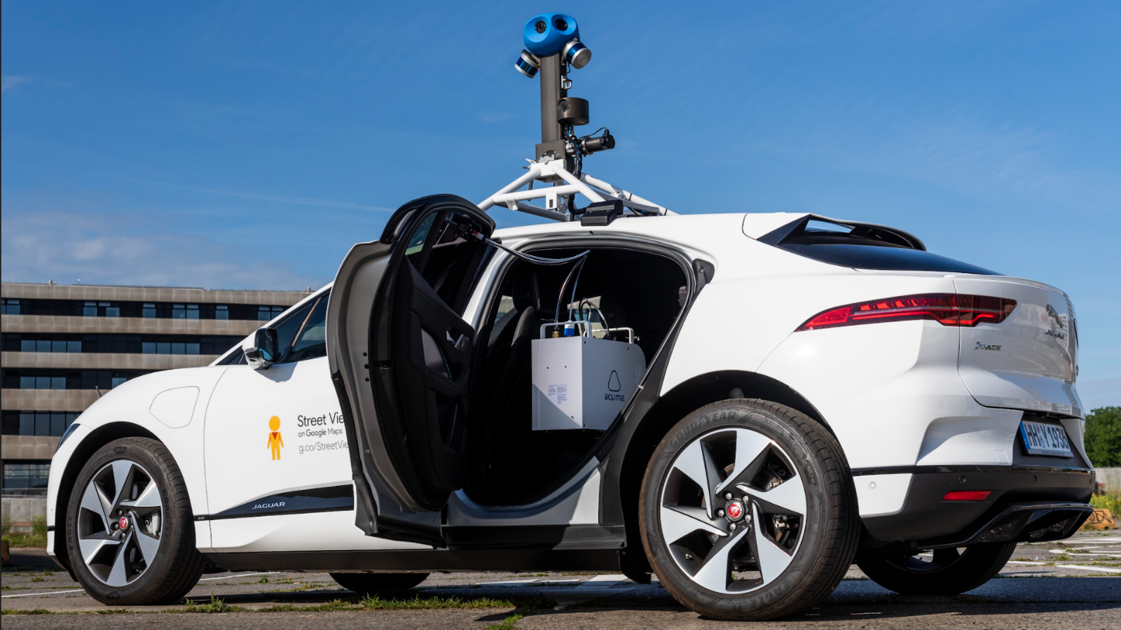
Today we announced our plans to deploy our mobile air quality sensing fleet in New York for the first time. This summer in Brooklyn, we will generate and analyze millions of air pollution and greenhouse gas measurements, block by block, day and night, weekdays and weekends.
Aclima is conducting this initial deployment in collaboration with Newlab, the New York City Economic Development Corporation, and the Downtown Brooklyn Partnership as part of the Circular City Studio, which empowers urban tech startups to help make New York more equitable, livable, and resilient.
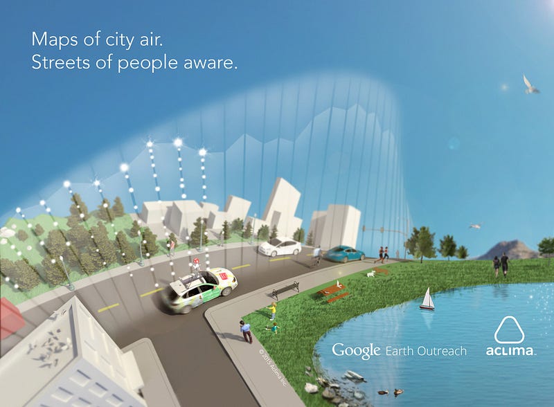
Air pollution levels can persistently vary from one end of a city block to another by up to 800%, according to our research with UT Austin, EDF, Google, and others. Prior to COVID-19, the public health community has pointed to decades of research showing that long-term air pollution exposure leads to many diseases including cancer, asthma, and diabetes, as well as shortened lifespans. People of color in the United States have been disproportionately affected by the health impacts of air pollution for generations.
New research is uncovering the negative impacts of long-term air pollution exposure on COVID-19 patient outcomes. There are also indicators of disproportionate impacts of COVID-19 on communities of color in New York City and elsewhere in the U.S. In addition, recovering and recovered COVID-19 patients may be more sensitive to air pollution. According to the New York State Department of Environmental Conservation, many of the locations where the Aclima mobile sensing fleet will measure hyperlocal air quality — including downtown Brooklyn and East Flatbush — are potential Environmental Justice areas.
Collective actions to slow the spread of COVID-19 led to temporary reductions in pollution from passenger vehicles. However, traffic is likely to pick up again, as New Yorkers adapt to changing circumstances and work together to protect the most vulnerable while optimistically moving toward a new normal.
Other sources of air pollution, like the trucks that deliver e-commerce products, have already increased as people shop online instead of in stores. And the use of public transportation may be impacted by concerns about disease transmission for a long time to come.
Over the course of this initial three-month deployment, we’ll be able to both identify hotspots and observe patterns in hyperlocal pollution levels that may correlate to changing behaviors, and public health impacts. At the same time, a typical hot and humid summer in Brooklyn is a recipe for increased ozone and particulate matter even with lower emissions.
We will be able to overlay other data sources with this new massive dataset on Brooklyn air quality — such as demographic, weather, tree canopy, and public health data. This will help us understand what is affecting the air people in the community breathe day in and day out, and how we might improve it.
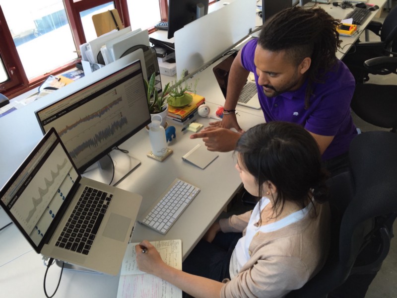
Aclima’s platform combines software, hardware, data science, and atmospheric science to measure and analyze a variety of air pollutants and the precise location of each measurement. This scientifically-produced resource is designed and engineered to inform actions and policies by local government, community, and business leaders to protect public health and address environmental justice.
With Aclima Pro — our professional cloud-based software — local governments, utilities, and businesses will be able to access, analyze, and take action with this new Aclima Environmental Intelligence™ to reduce the impacts of air pollution on the communities they serve. Subscribers can pinpoint air quality issues, plan and target interventions, benchmark performance, share best practices, assess outcomes, and prioritize resources to optimize for impact.
We’ll also make this information publicly accessible in Aclima’s interactive online report which provides address-based lookup of hyperlocal air pollution for the measured neighborhoods. We’ve applied this approach in service of environmental justice communities in California, including Richmond-San Pablo, San Diego portside communities, and West Oakland, in addition to the entire San Francisco Bay Area. We’re also the global scaling partner for Google Street View.
Together with our partners in New York, we’ll build a high-resolution, comprehensive picture of how people experience street-level air pollution this summer in Brooklyn. As we look to move from pandemic response to recovery, and from environmental injustice to equity, this new capability can help to prioritize resources and accelerate interventions that benefit everyone.
Share this
You May Also Like
These Related Stories

Aclima and Google Now Measuring Air Pollution and GHGs Block by Block in Hamburg

Why We Partnered With EPA To Improve Small Scale Sensors

/2022_Aclima_Logo_Mist_500px_wR.png?width=501&height=193&name=2022_Aclima_Logo_Mist_500px_wR.png)
